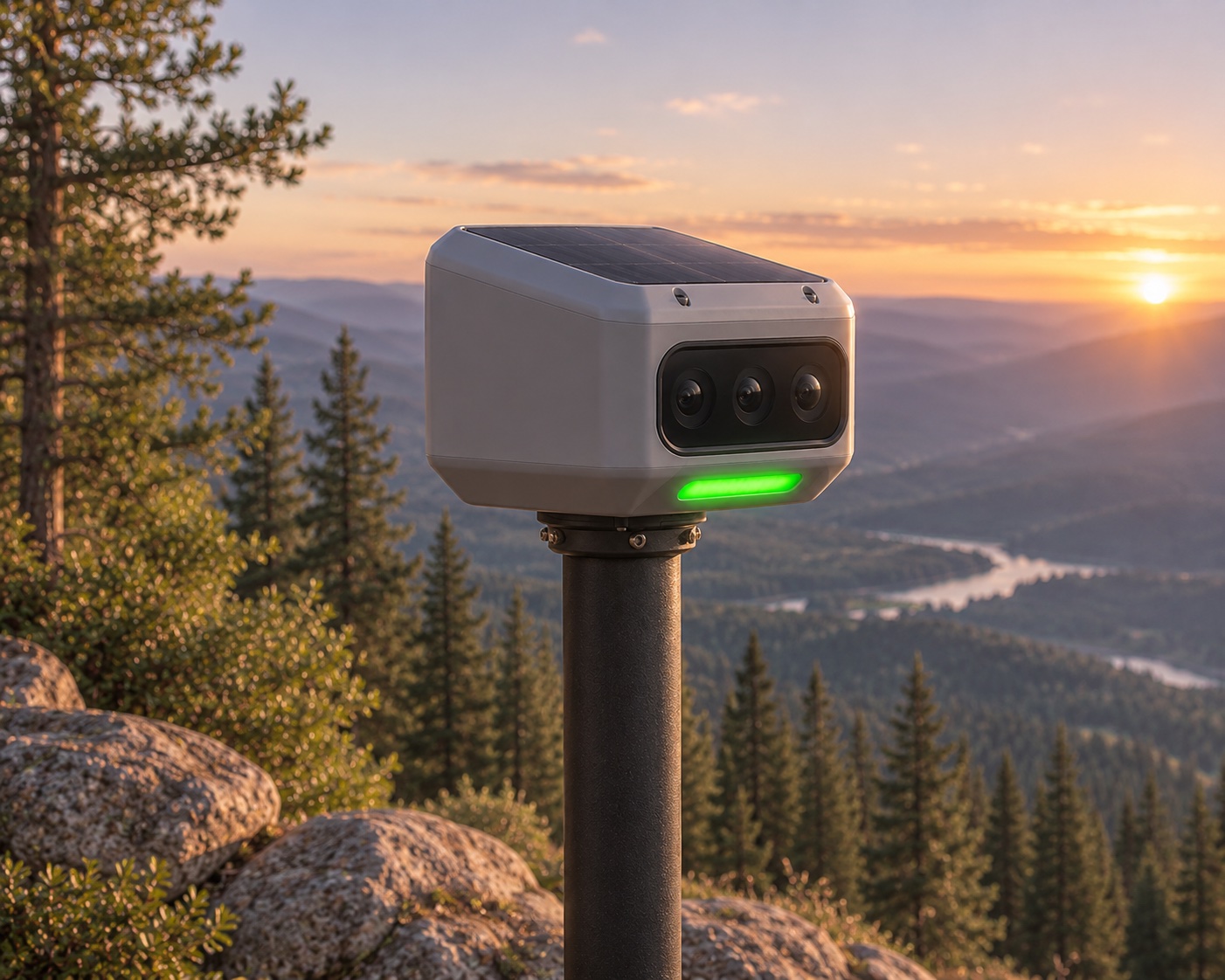
Detection systems
Ground-based monitoring stations designed to identify potential wildfire activity through cameras and environmental sensors.
Explore detection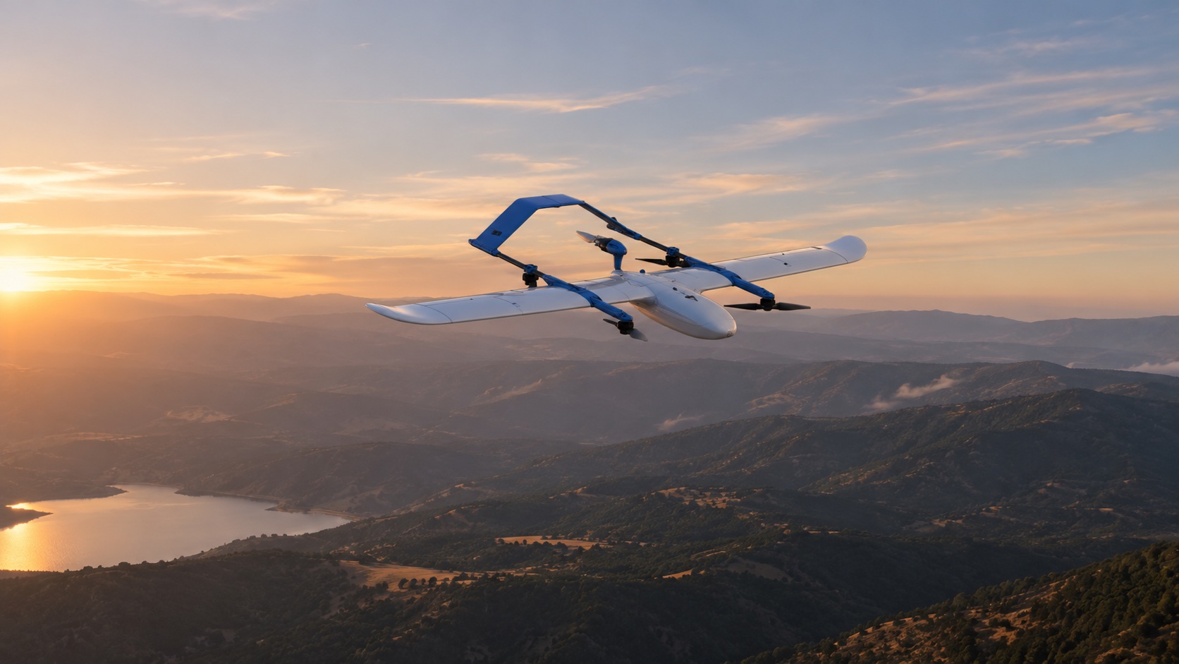
Developing innovative technology to help protect lives, preserve communities, and build a safer future in the face of wildfires.
Wildfires can grow rapidly, threatening homes, natural landscapes, and entire communities. Getting reliable information early is critical to understanding what's happening and knowing how to respond.
Why early detection matters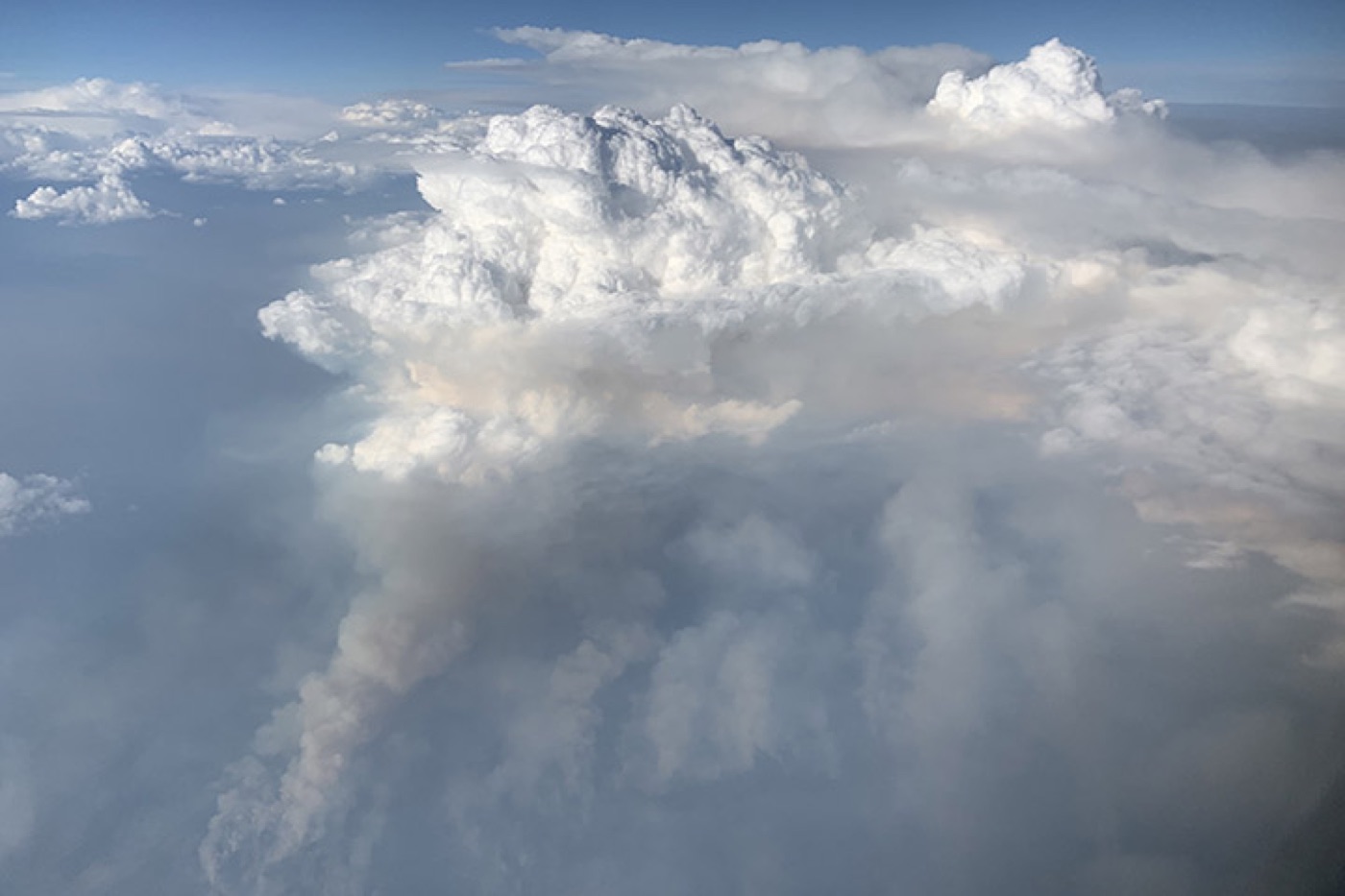 The challenge
Recognizing emerging threats.
Understanding what is happening.
Helping communities act sooner.
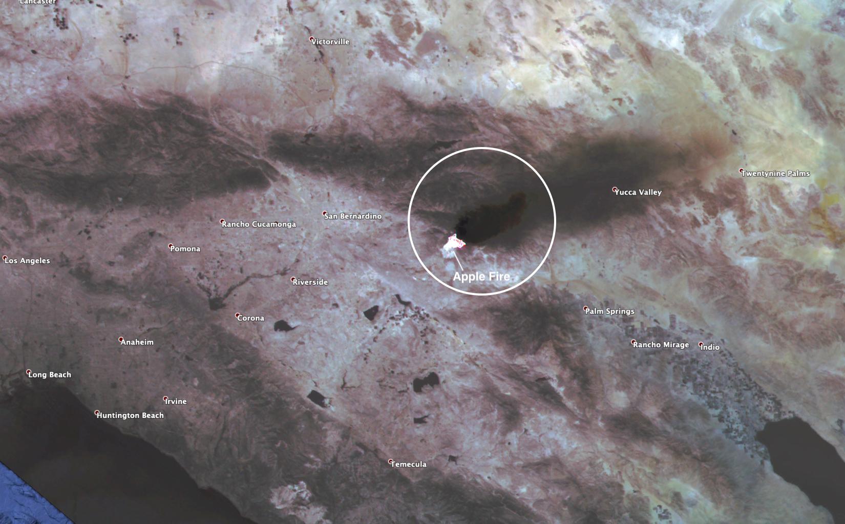
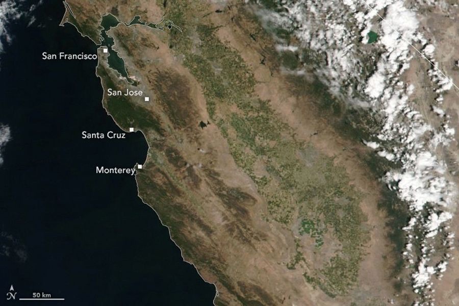
The earlier a fire is identified, the more opportunity there is to act.
The sequence is illustrative, not a fire-growth forecast or a response-time claim.
Flown is developing an integrated approach that connects ground-based detection, autonomous aircraft, and centralized operations to help identify and investigate wildfires.
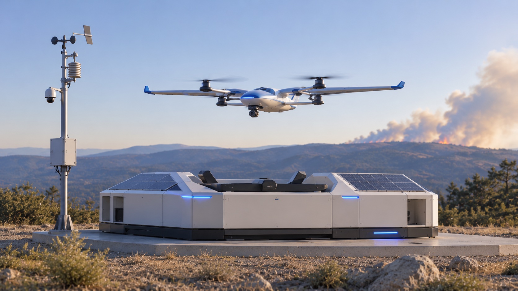
Ground-based monitoring helps identify potential fire activity.
Ground-based detectionAutonomous aircraft development brings aerial intelligence to a potential incident.
Aerial intelligenceCentralized operations connect observations and support incident review.
Mission ControlFrom intelligent monitoring stations to autonomous aircraft and mission control, every part of the Flown system is designed to work together.
Ground-based monitoring stations designed to identify potential wildfire activity through cameras and environmental sensors.
Explore detection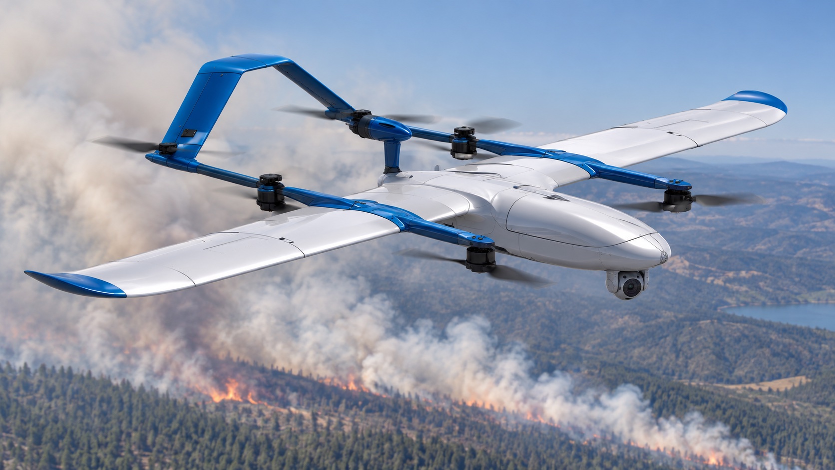
Purpose-built aircraft concepts for aerial investigation, imaging, and future early-response capabilities.
Explore aerial responseDocking, charging, and supporting systems intended to help aircraft operate as part of a connected network.
Explore infrastructureA centralized platform concept for monitoring detections, coordinating aircraft, and organizing incident information.
Explore Mission ControlDiscover how Flown's connected technologies are designed to identify potential threats, investigate incidents, and deliver valuable information.
A monitoring station identifies unusual environmental conditions or visual signs of smoke.
Look, Sense, and Sense-C are the field-device family behind this approach.
Explore ground detectionGround observation
→ Incident review
→ Aerial investigation
The system brings the detection, location, and available information together for review.
Mission coordination software is a concept in development, not a live operational service.
Explore mission coordinationAn aircraft is assigned to investigate the potential incident.
This is a conceptual workflow showing how Flown's developing technologies could work together.
Meet the aircraftOptical and thermal imaging help provide a better understanding of the situation and can support responder coordination.
Flown is also researching aerial technologies for early-stage suppression. This remains research, not a deployed service.
Explore aerial response research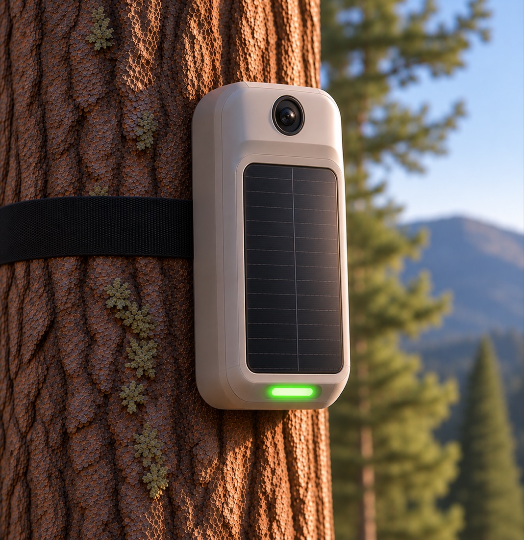
Follow-up observations help assess fire activity and response results.
The resulting information can help responders coordinate next steps. It does not replace established emergency services.
Explore the connected approachStep 1 of 5
Follow a simulated wildfire event and experience how Flown's detection, aircraft, and operations systems are designed to work together.
Sample event · awaiting review
Step 1 of 5
A ground-monitoring station detects conditions that merit review. This event is simulated, not a live alert.
Use the controls to move through this illustrative workflow.
Interactive playback requires JavaScript. The steps above summarize a simulated workflow and are not connected to live systems.
All interface elements and event details are simulated. This concept is not connected to live sensors, aircraft, maps, or emergency services. Flown's capabilities are in development.
Aircraft are central to Flown's development work: bringing aerial and thermal intelligence to an incident, while researching technologies for early-stage suppression.
Explore Aerial Response
Aerial and thermal observations are part of the investigation approach we are developing. Select the other marker to explore the aircraft's role.
Our aircraft development connects dock-based flight with incident investigation and aerial-response research. The visualization does not establish range or payload specifications.
We aim to develop technology around the needs of the organizations and people facing wildfire risk.
Explore Who We Work With
Behind every system we build is a greater purpose: protecting lives, preserving the places we call home, and helping communities face natural disasters with greater confidence.
Our long-term vision begins with wildfire and looks toward technology that can help communities respond to other natural disasters.
Learn About Our MissionFlown aircraft · Product visualization
Flown is a youth-founded engineering nonprofit based in Fresno, California, bringing together engineering, robotics, and innovation to address real-world challenges.
Explore our technology, discover our mission, and connect with the team working to make a difference.